The power of CLASlite rests in its unique ability to convert seemingly green “carpets” of dense tropical forest cover found in the basic satellite images into highly detailed maps that can be readily searched for deforestation, logging and other forest disturbance events.
Areas where clearing, logging and other forest disturbances have recently occurred are accentuated and easily identified by CLASlite’s algorithms. Both deforestation and secondary forest regrowth can also be tracked by the user of CLASlite.
CLASlite is a highly automated system for converting satellite imagery from its original (raw) format, through calibration, pre-processing, atmospheric correction, and cloud masking steps, Monte Carlo Spectral Mixture Analysis, and expert classification to derive high-resolution output images.

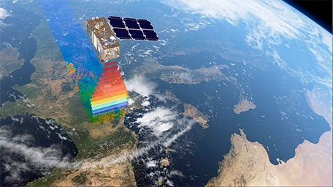
CLASlite currently analyses imagery from the Landsat 4 and 5 TM, Landsat 7 ETM+, Terra-MODIS, Aqua-MODIS, Terra-ASTER, EO-1 Advanced Land Imager (ALI), SPOT-4, and SPOT-5 satellite sensors. CLASlite will fully support Landsat 8 (LDCM) imagery after its launch in January 2013.
In 2007, CLASlite 1.0 was developed from a super-computing code called the Carnegie Landsat Analysis System, or CLAS, into a "lite" software package. By 2008, CLASlite was ready for use by non-profit institutions, and the first training sessions were conducted in Peru. In 2009, CLASlite 2.0 was released with new functionalities and supporting a wider range of satellites.
CLASlite 3.0 was released in early 2013, after its beta version was tested among users from the Andes-Amazon region, Panama, Mexico, and Indonesia. CLASlite 3.0 offers much improved spectral libraries that allow the software to be applied to global tropical forests and improved forest change mapping algorithms. In addition, version 3.0 is up to 10 times faster than previous versions.
CLASlite is protected under U.S. patents 8189877, 20090214084, 20120288159-A1; International Classification G06K9/62.
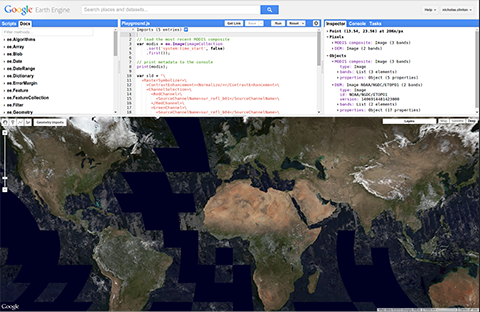
CLASlite 3.3 supports Google Earth Engine Landsat images similar to data products available from USGS archive from Earth Explorer (earthexplorer.usgs.gov).
CLASlite 3.3 supports Sentinel-2 reflectance processing for single or/and batch image processing.