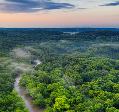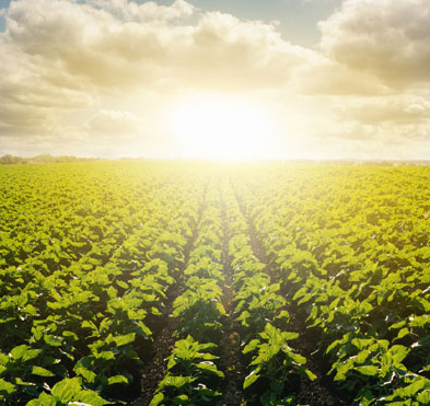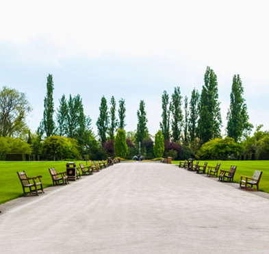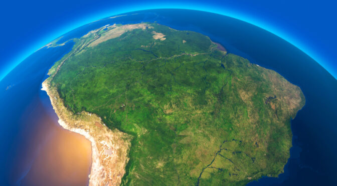
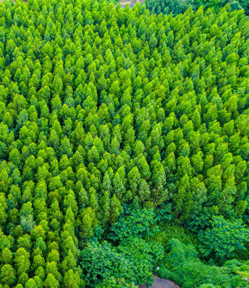


Our CLASlite Technology has been developed over 30 years of research and continues to innovate every day. Sign up for our mailing list to see our recent studies, links to published works and learn how our CLASlite technology is improving agriculture returns, aiding urban development and helping tackle deforestation around the globe.